Building Smarter
Infrastructure
Precision tools. Intelligent systems. Relentless improvement.
Tools That Transform
Every Project
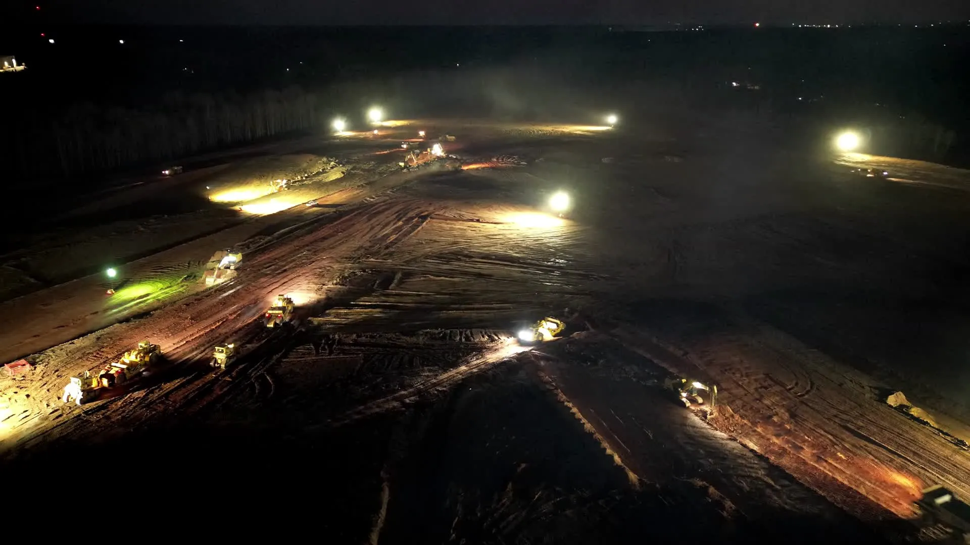
Precision at Every Grade
Every cut, every grade, every elevation — verified in real time. Our GPS machine control systems eliminate guesswork and deliver sub-inch accuracy across the entire fleet.
Drone Surveying
Our in-house drone program delivers high-resolution site mapping, volumetric calculations, and real-time progress tracking. What used to take weeks now takes hours.
Data-Driven Planning
Integrated project data platforms connecting field operations to engineering models. Every decision backed by live site data.
Fleet Modernization
A continuously updated fleet of late-model equipment engineered for maximum performance, fuel efficiency, and reduced emissions across every active project.
Sustainability Initiatives
From low-emission engines to recycled material integration, we build responsibly without compromising the power or pace that complex projects demand.
Precision Is a Practice,
Not a Product
Advanced tools like drone mapping, 3D modeling, and real-time equipment data provide actionable insights that improve planning, productivity, and transparency for clients. Every tool, system, and process must earn its place by improving accuracy, reducing risk, or accelerating delivery.
Continuous Investment
Annual capital allocation toward emerging tools and systems that push the boundaries of what's achievable in heavy civil construction.
Operator Training
Technology is only as effective as the people behind it. Every operator is certified and continuously trained on the latest systems.
Measurable Results
We track performance gains rigorously, comparing baseline metrics to post-implementation data on every major technology rollout.
The Data Speaks
GPS machine control delivers consistent sub-inch precision across all earthwork operations.
Drone surveying completes topographic mapping in hours versus traditional methods taking days.
Technology-enhanced safety monitoring across all active project sites.
Fleet modernization and sustainability initiatives driving measurable environmental impact.